IENC
Marine Technology
Description
Electronic charts for inland navigation are now increasingly being used around the world. In Poland are available since 2013 when the RIS (River Information Services) was implemented.
A collection of 10 databases of electronic maps, was developed for RIS at Marine Technology Company. Range of map included the shipping lanes from the port of Szczecin to the Ognica.
The Marine Technology company has given the official manufacturer code electronic map, listed in the document IHO S-62 – LIST OF DATA PRODUCER CODES.
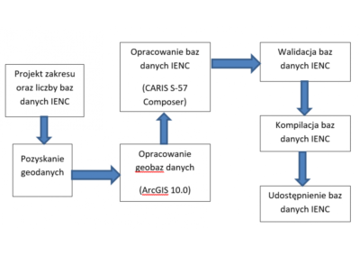
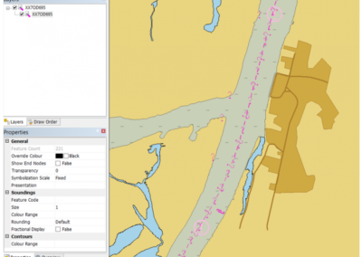
In production map used ArcGIS software program and CARIS S-57 Composer. The scope of work needed to develop IENC databases included:
Define the scope IENC map for RIS
Specify of the number of cells the electronic map
Gaining data for map production
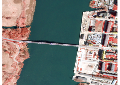
- Photogrammetric materials: orthoimage with aerial photographs of the spatial resolution of 0.15 m (definition resolution, composition, reception made orthophotos).
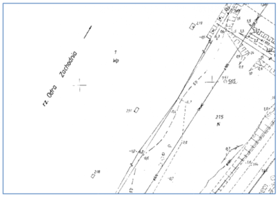
- Site maps in raster and vector format (vectorization of raster maps, checking the validity of data).
- The data provided by national institutions (verification, checking the validity of data).
- Own measurements with use of GNSS (verification, complementary).
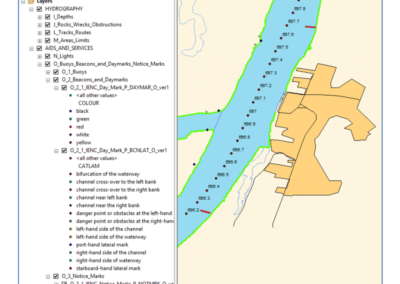
Development of database software ArcGIS
Charset of data in CARIS S-57 Composer software
Validation and compilation of databases to the format 000
Testing and verification of data
Developed maps are now available on the website of the Inland Navigation Office.
Currently, the company has a complete production line and experience, enabling the creation and updating of electronic charts for inland navigation. Scope of the study may include any waterways. In the production of electronic map company can also conduct their continuous updating.
Address
4/6 Roszczynialskiego St.
81-521 Gdynia
13/5 Niemena St.
81-603 Gdynia
37/5 Klonowica St.
71-248 Szczecin

