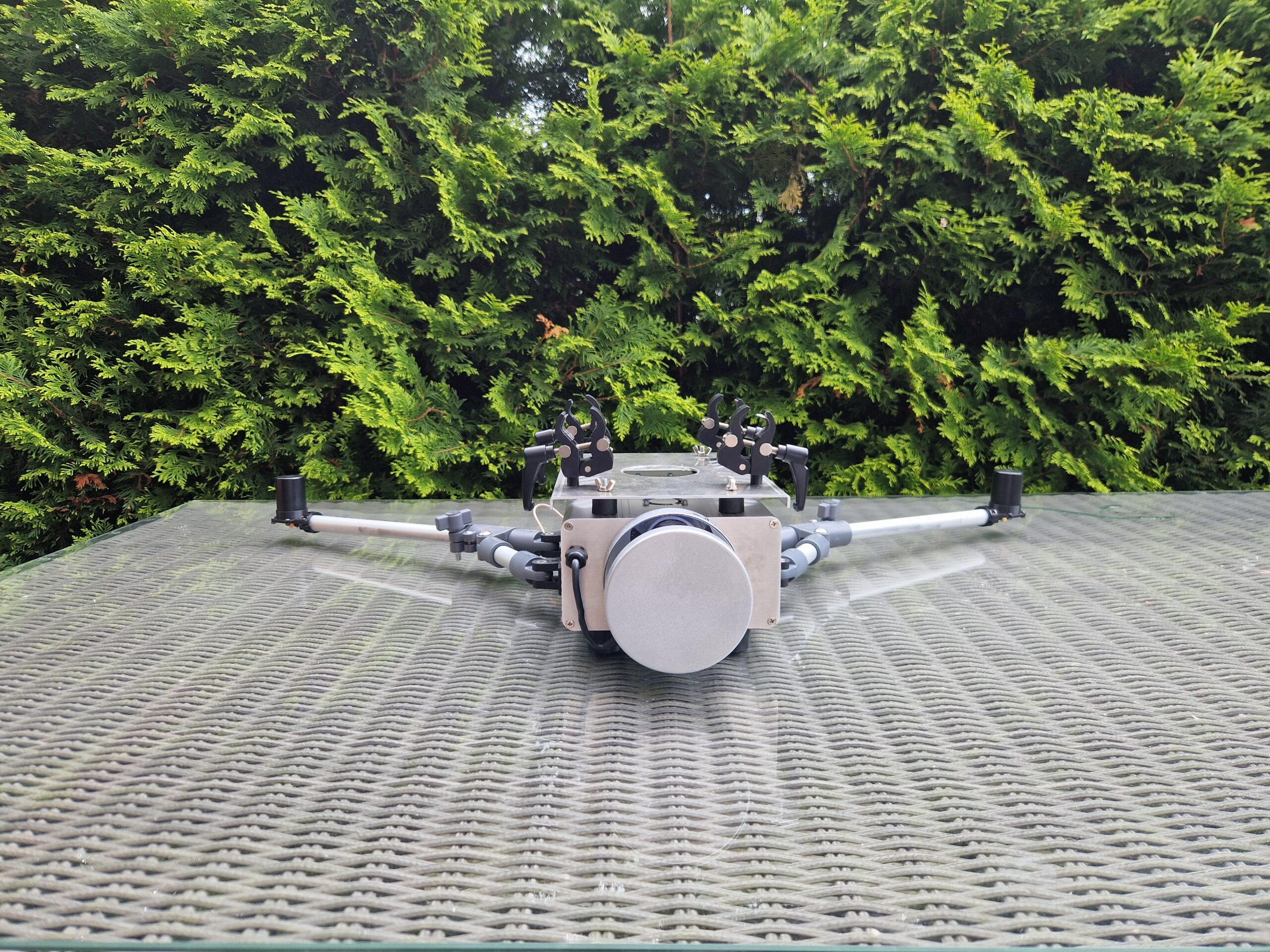
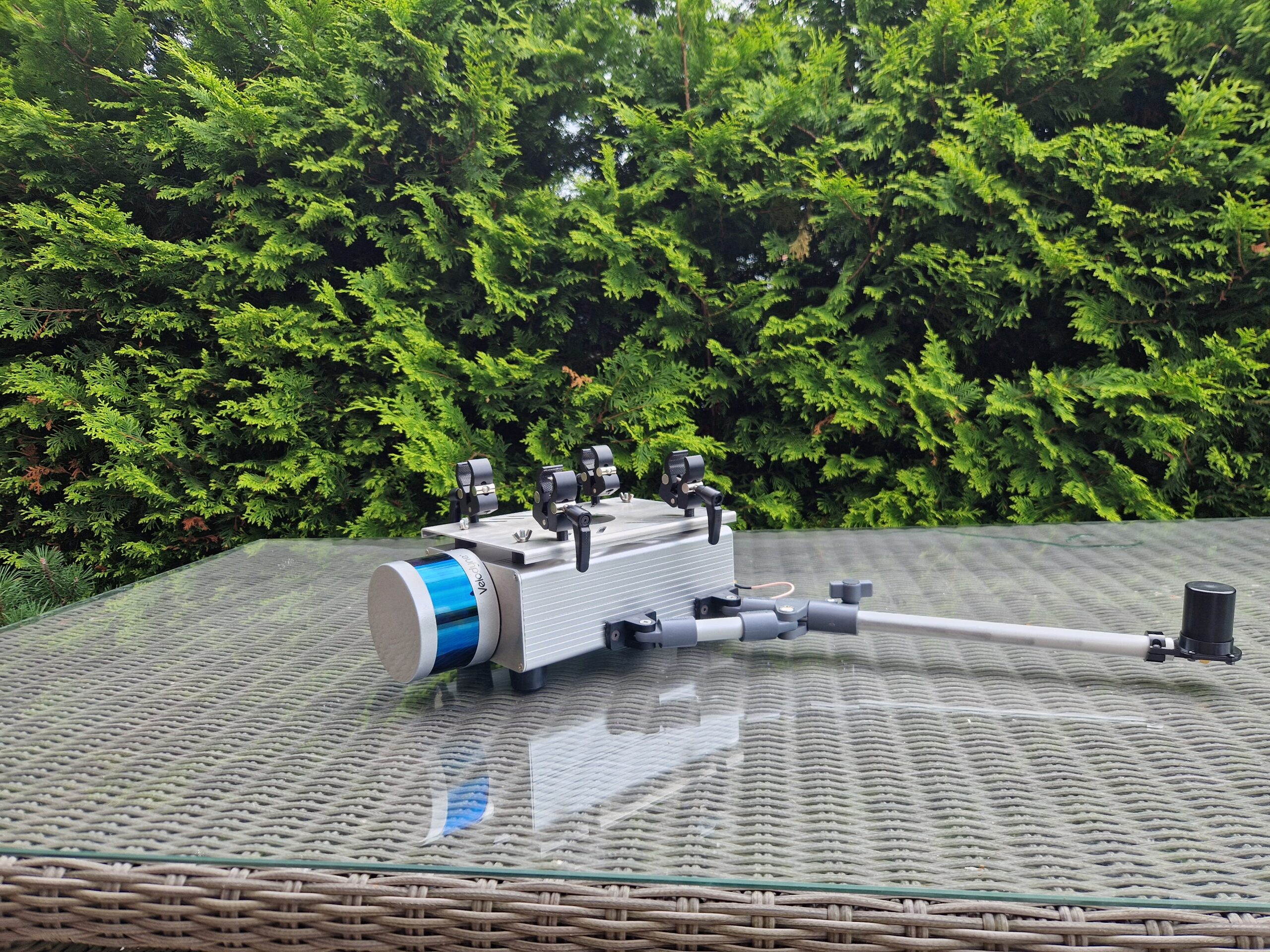
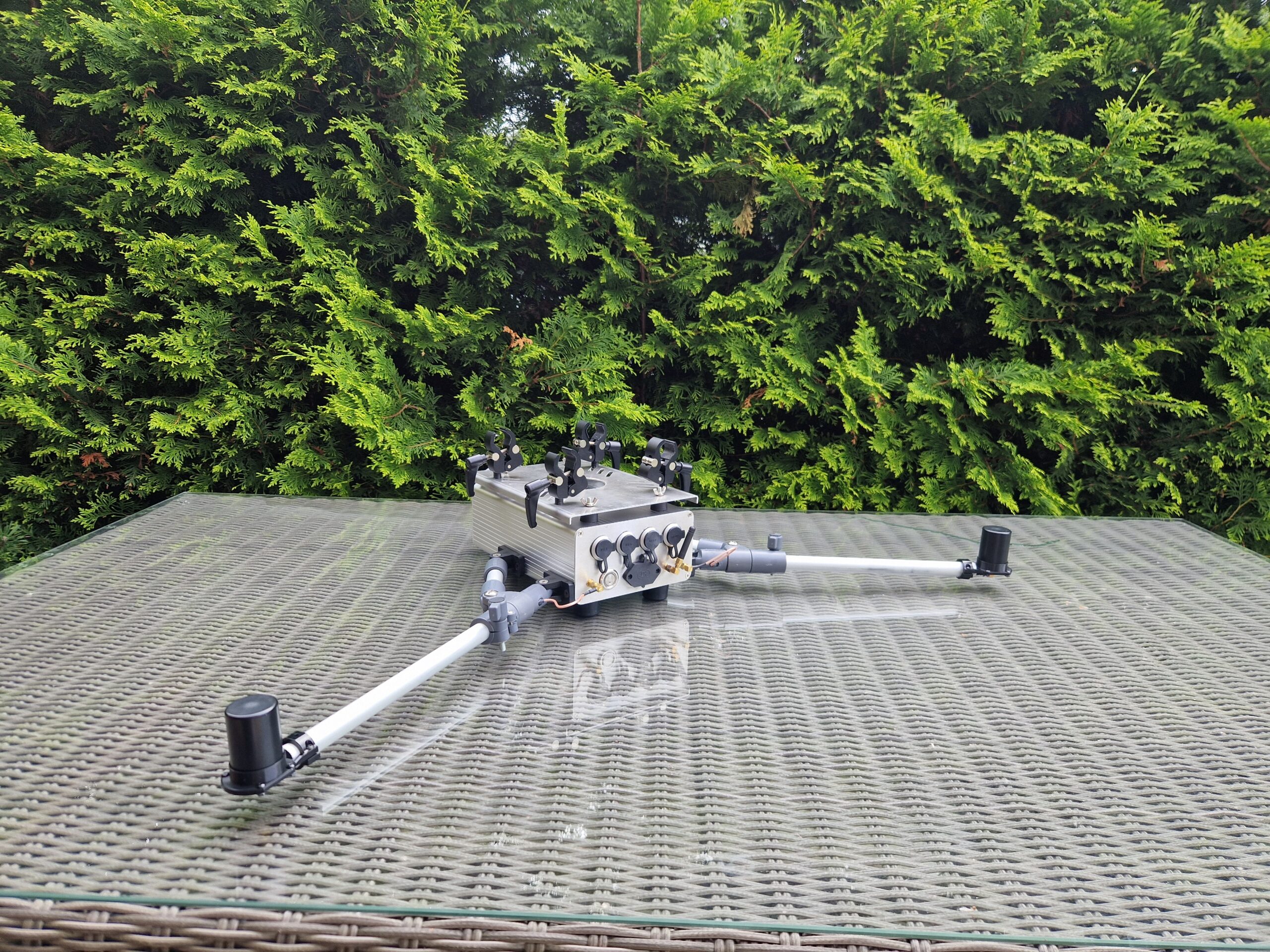
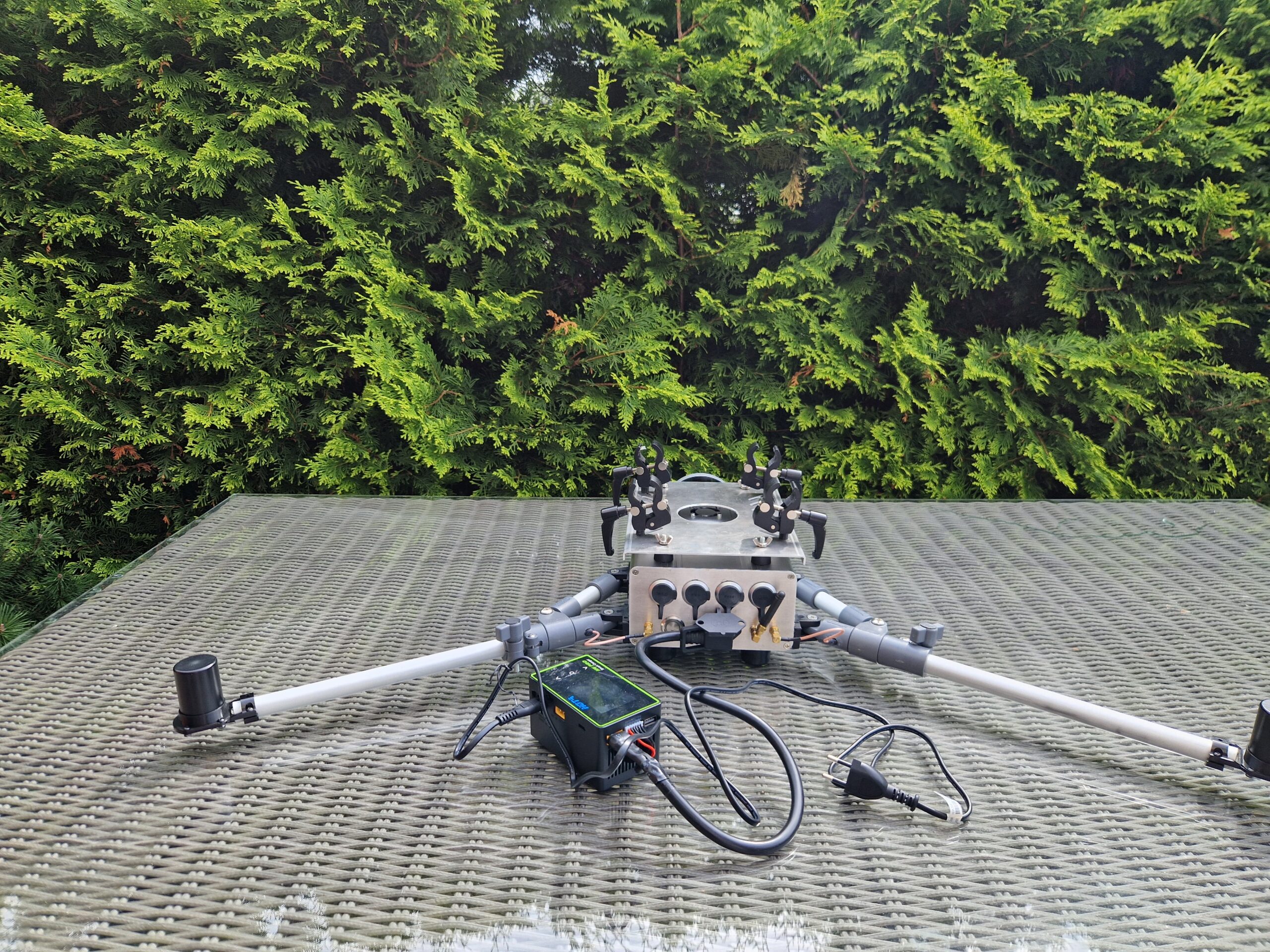
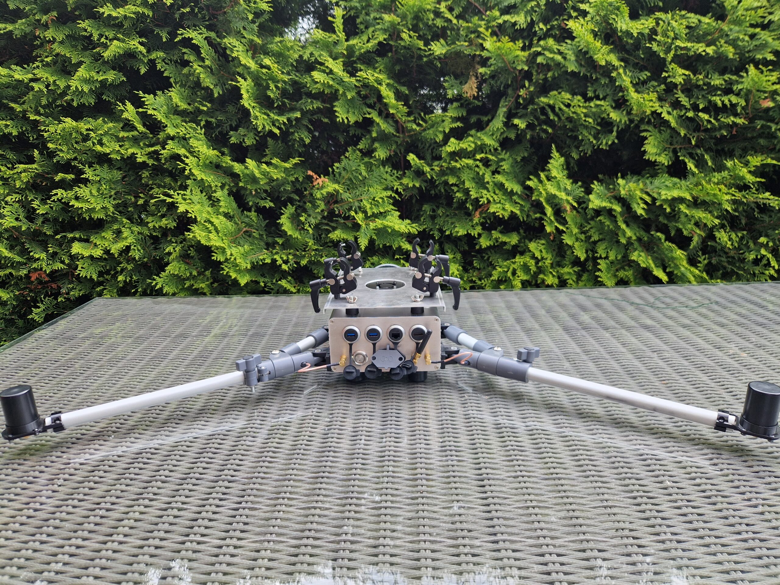
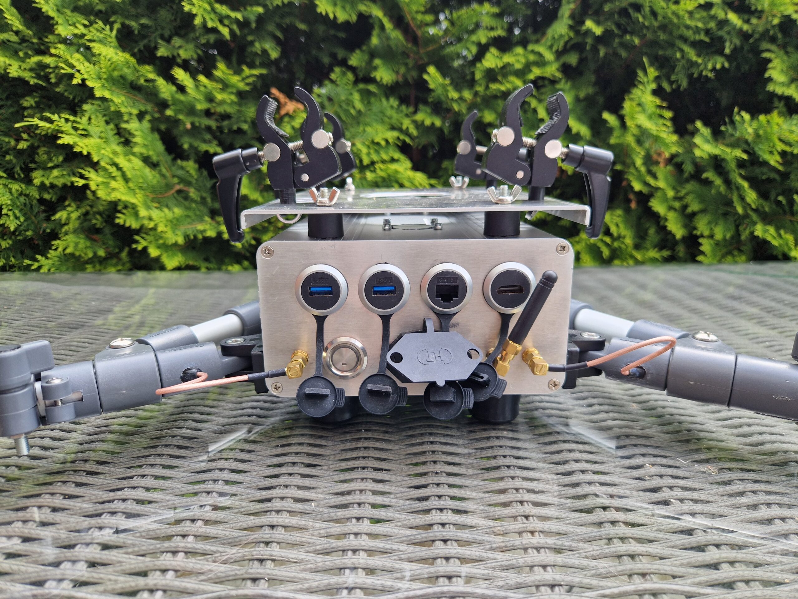
Integrated measurement module

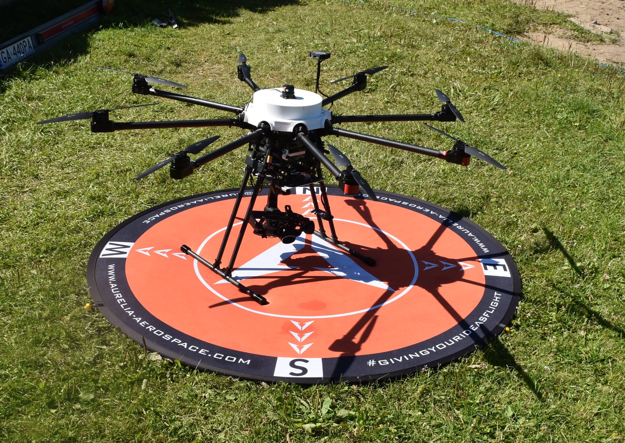
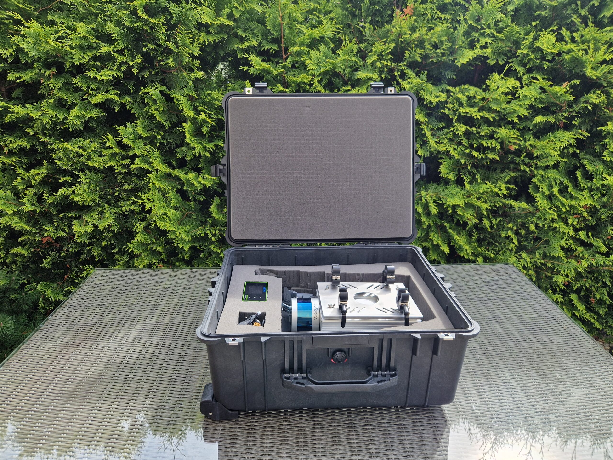
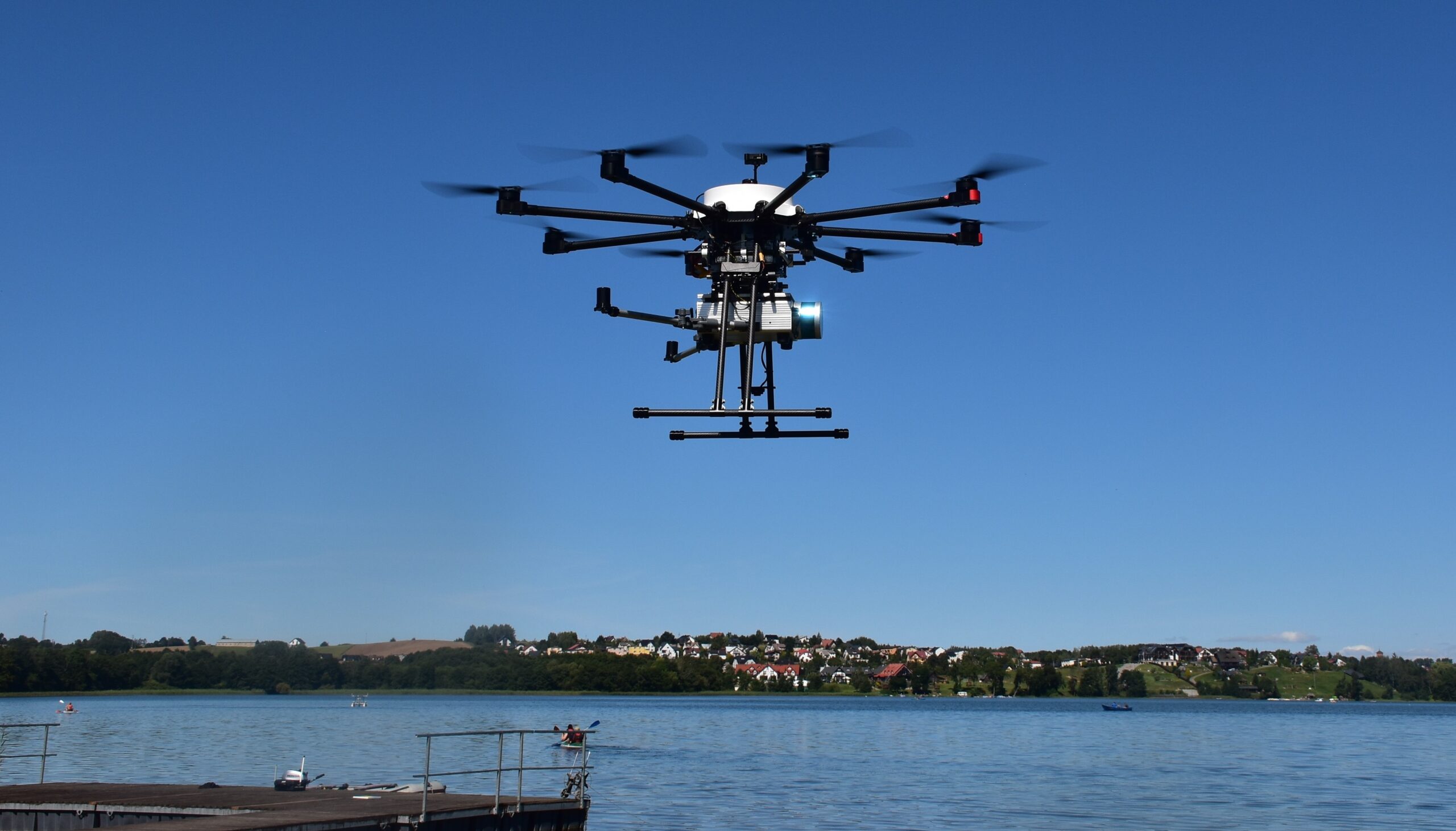
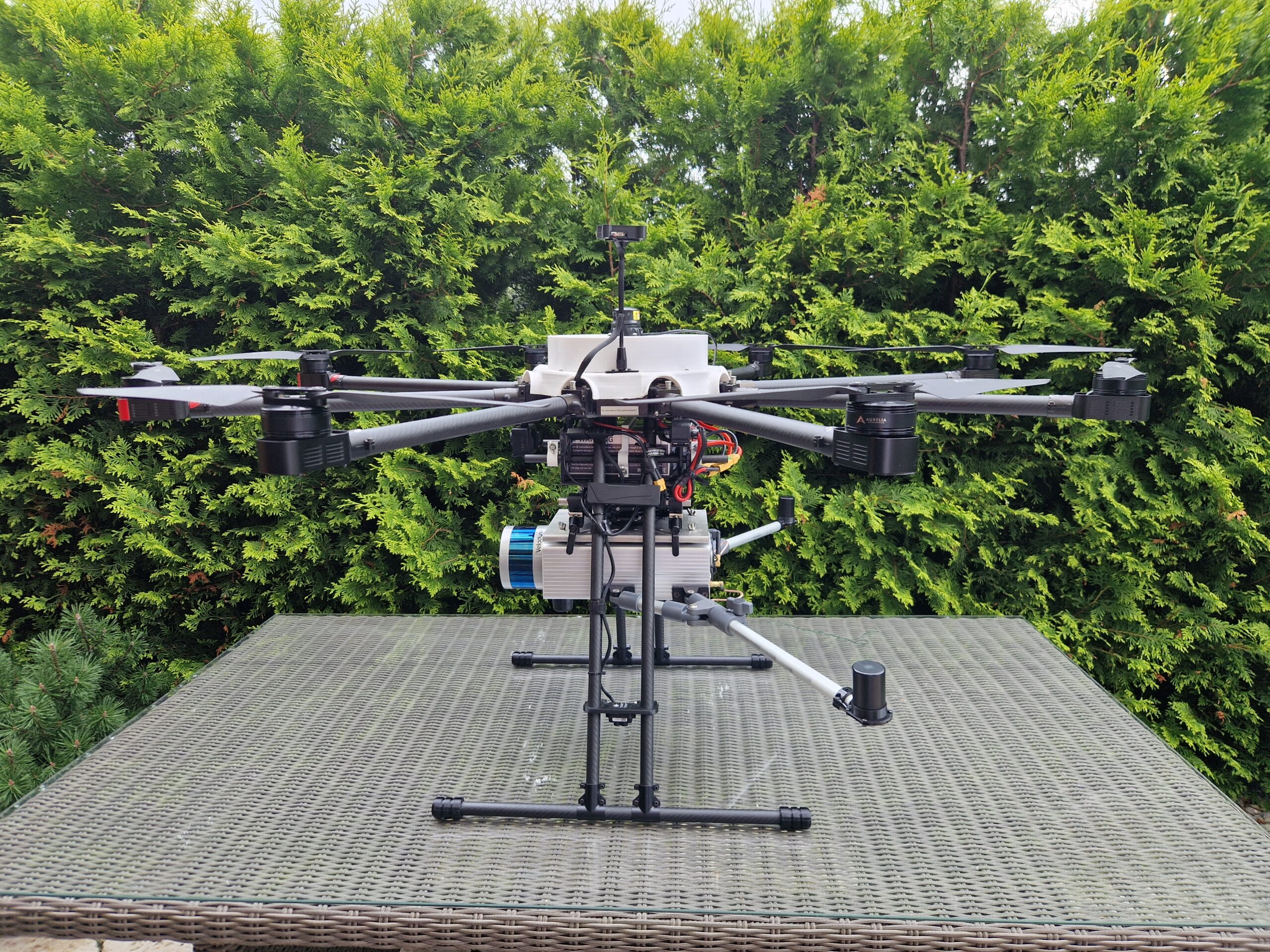
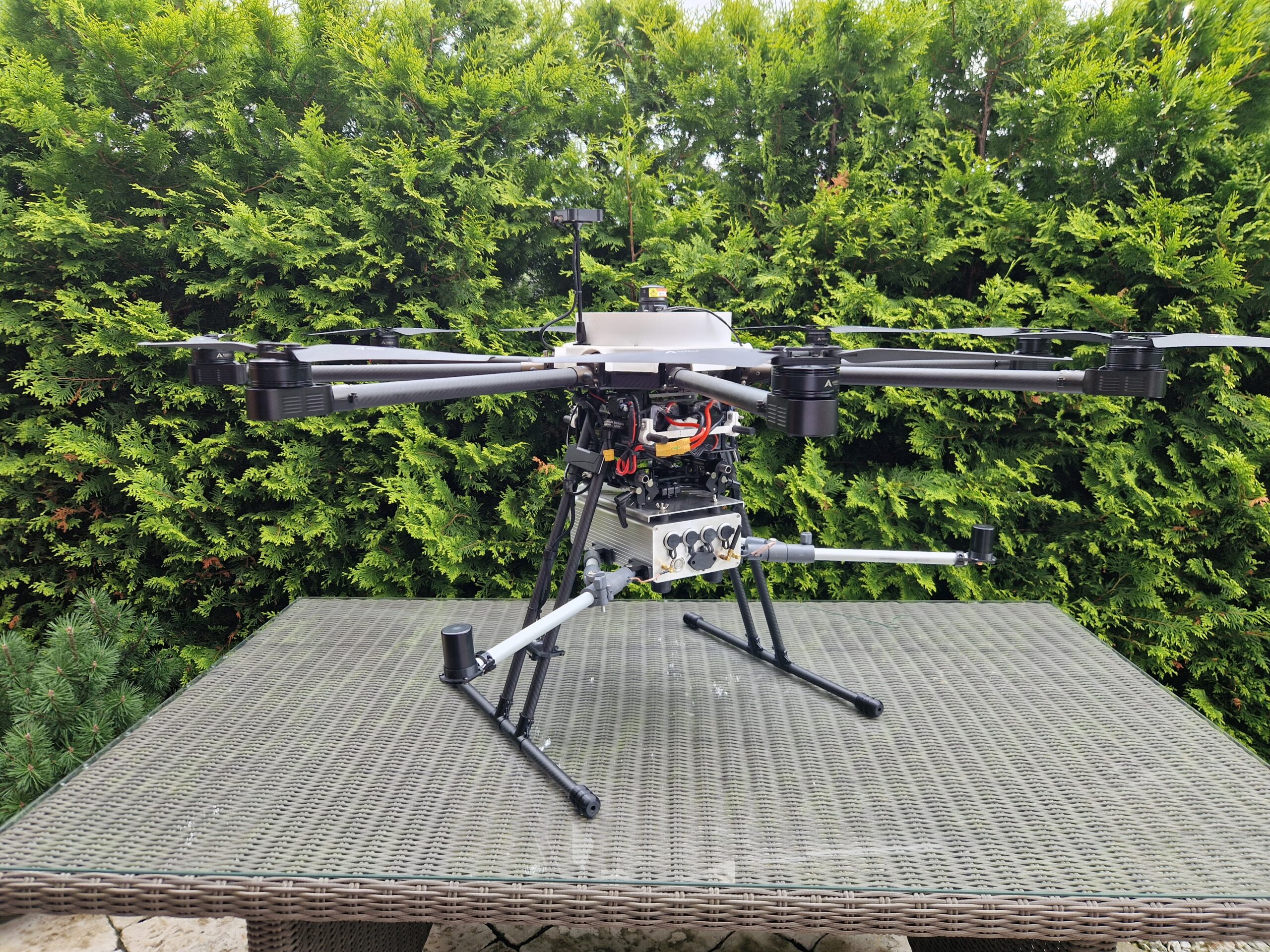
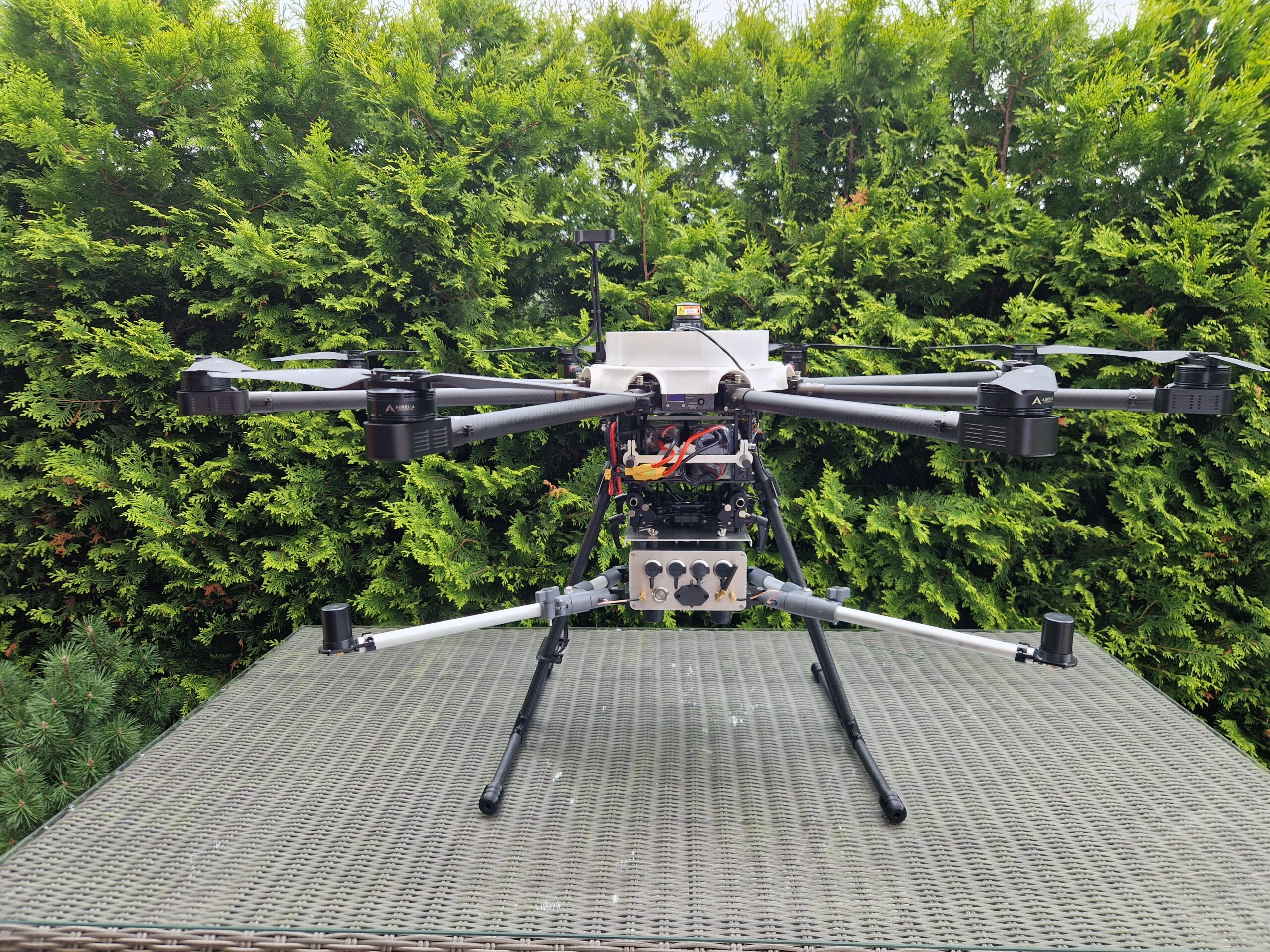
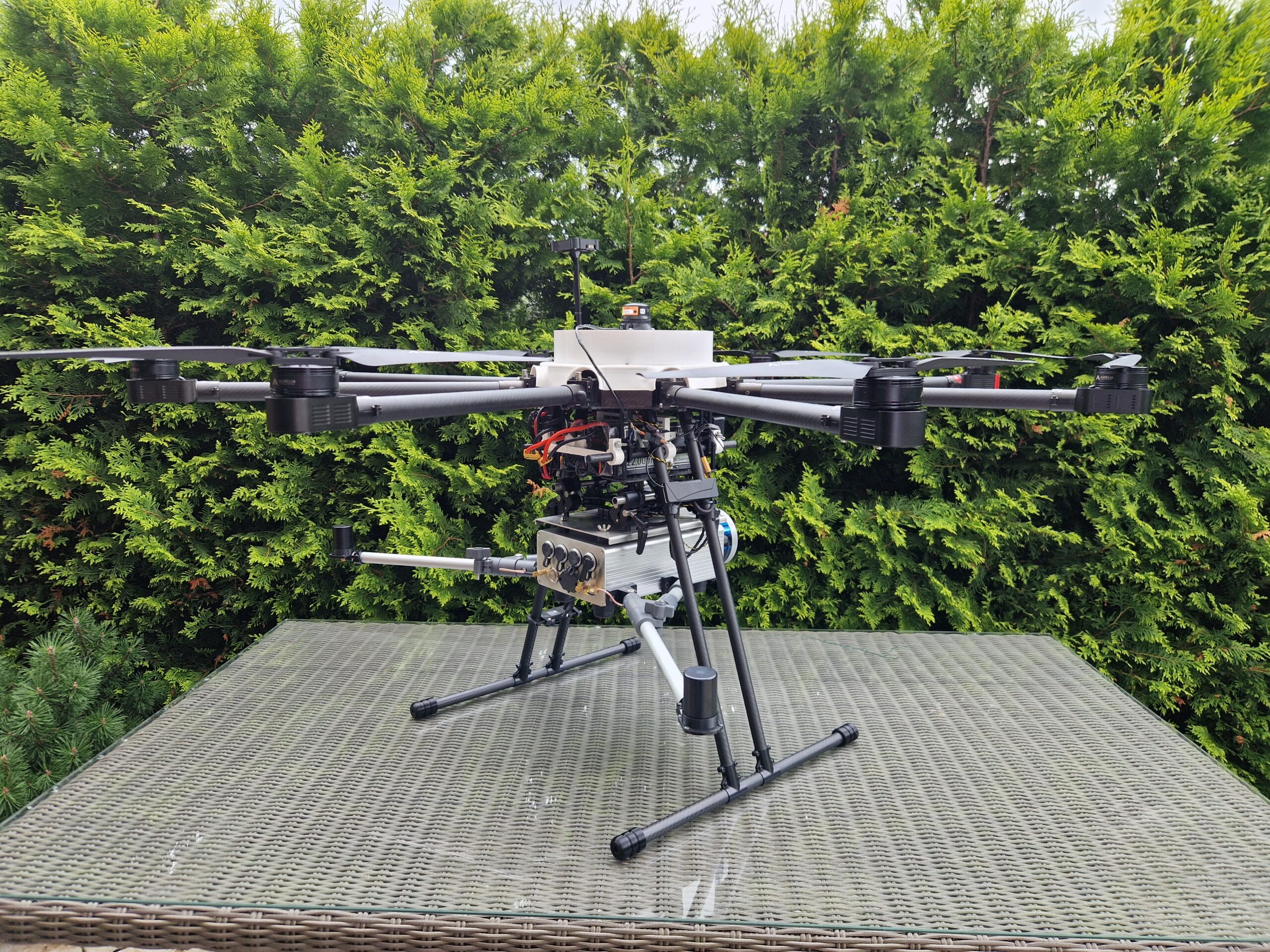
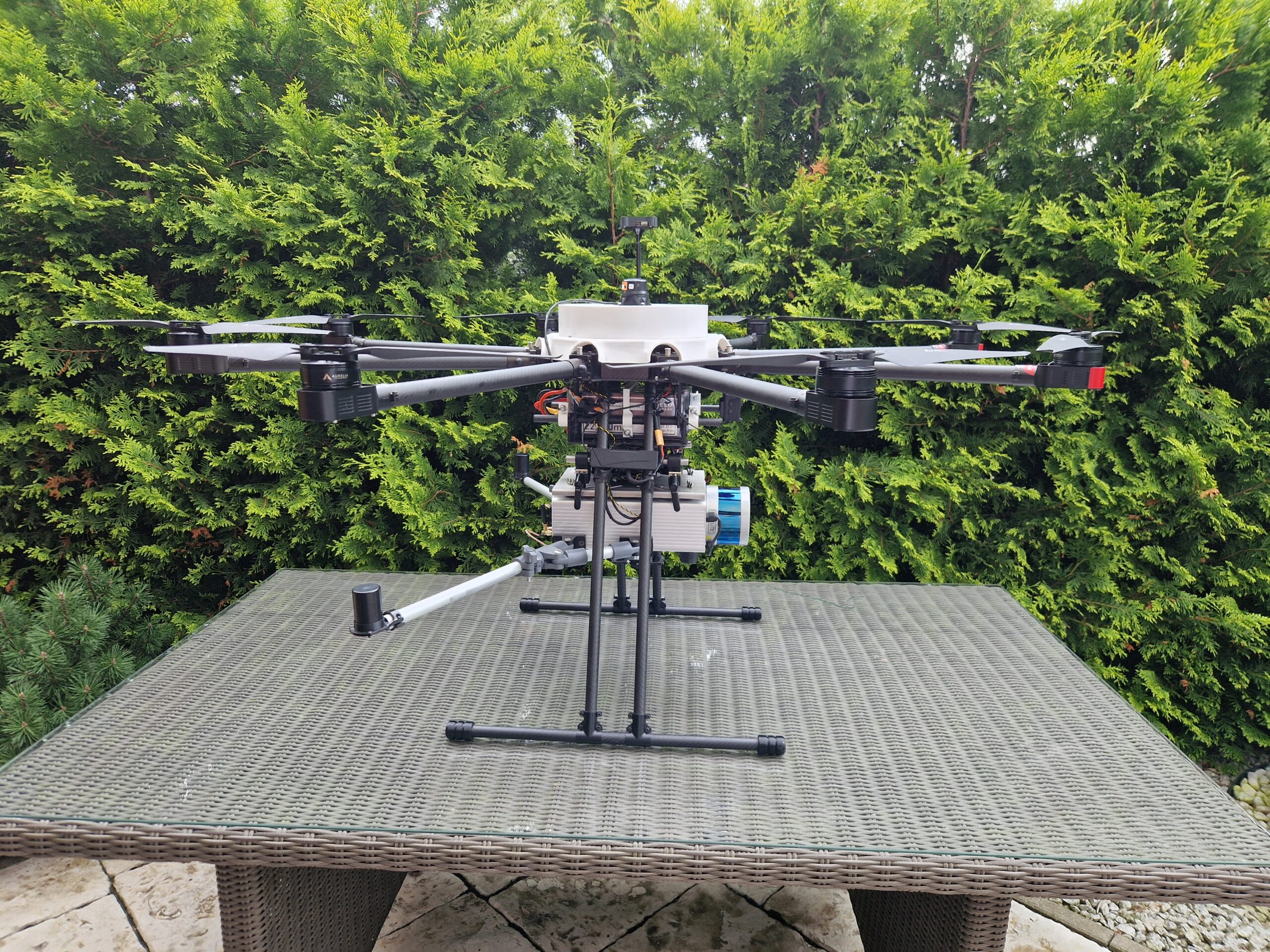
The integrated measurement module is a multi-sensor observation and measurement system designed for operation in challenging and diverse environments. The system includes precise measurement components: LIDAR, an inertial measurement unit (IMU), and an RTK-GNSS receiver. Thanks to their synchronization and integration with the onboard computer, real-time local processing and archiving of data is possible, without the need to transmit it to external stations. This solution significantly increases operational independence and enables operation in areas with limited or disrupted connectivity. An additional advantage is the open architecture of the system – the module can be configured according to mission requirements and expanded with additional sensors, such as thermal cameras, gas sensors, pollution sensors, or millimeter-wave radars.
The module can be installed on both aerial vehicles (Unmanned Aerial Vehicles), ground vehicles (cars), and waterborne platforms (vessels).
The solution features a compact, lightweight, and modular design, making it easy to integrate with various UAV platforms. The system supports both autonomous and semi-autonomous missions, providing precise spatial and environmental data acquisition. Furthermore, there is an option to connect to external power sources.
The measurement system has a wide range of applications in various fields, such as critical infrastructure monitoring, crisis management, technical inspection, and detection of illegal activities. It can be used for terrain mapping, assessing the condition of objects, and detecting potential threats in different environments, including ports, industrial areas, border zones, or high-risk regions. In seaports, the system supports vessel traffic monitoring and infrastructure security, identifying threats such as smuggling, illegal activities, or interference with port equipment. In the industrial sector, the system can monitor the technical condition of facilities, such as power plants, refineries, manufacturing plants, or transmission installations, detecting early signs of failures, enabling quick preventive actions.
In crisis management, the system excels in assessing the effects of natural disasters such as earthquakes, floods, or fires, enabling the collection of precise data on infrastructure damage and terrain changes. This is an invaluable tool for planning rescue operations and facilitating quick response from emergency services, which can make better decisions in the field based on accurate information.
Moreover, the system can support environmental protection efforts, such as air quality monitoring, pollution analysis, or ecosystem health assessment. In precision agriculture, it can be used for mapping agricultural lands, monitoring plant health, detecting soil changes, and optimizing natural resource usage. Thanks to its modular construction, the system easily adapts to various platforms, whether land, air, or water-based, offering flexible integration for different mission and operation requirements.
Finally, its application in surveying and cartography, supported by LIDAR and RTK-GNSS technologies, enables the creation of detailed maps and accurate 3D terrain models, which are essential for many construction, infrastructure, and urban planning projects. With such wide-ranging capabilities, the measurement system becomes a valuable tool across various industries where precise spatial and environmental data are crucial.


Address
4/6 Roszczynialskiego St.
81-521 Gdynia
13/5 Niemena St.
81-603 Gdynia
37/5 Klonowica St.
71-248 Szczecin