HydroNav3D

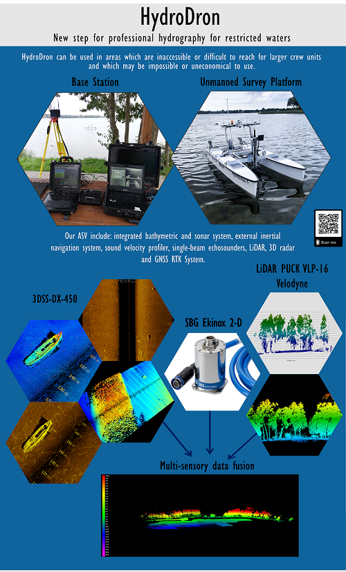
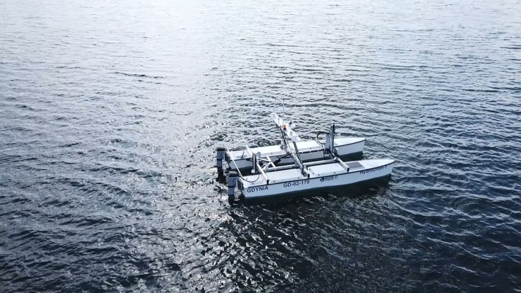
The subject of the project „The system of autonomous navigation and automatic 3D hydrography of the unmanned floating platform” is a significant improvement of the product of the company Marine Technology autonomous / remote-controlled multi-purpose surface platform for operations in port areas, on roads, anchorages, lagoons, bays and lakes, rivers and other areas limited by developing an autonomous system 3D navigation and automatic hydrography platform. Such an improved unit will be able to perform measurement missions in the field of bathymetric, sonar and other measurements in autonomous mode by implementing an adaptively planned trajectory and conducting an automatic analysis of 3D measurement data (around the platform) in near real-time.
Autonomous navigation and automatic 3D hydrography systems installed on an unmanned surface vehicle will be an innovative solution on a global scale. The HydroDrona software will be extended with functions such as adaptive planning of measurement profiles during hydrographic works, automatic analysis of image data around the unit in near real-time and many others.
It is planned to develop the following software modules that significantly improve the product, technologies used and the possibilities of providing services:
The module for adaptive planning and implementation of measurement profiles, based on the actual width of the measurement belt depending on the depth of the basin and bottom type, in close to real-time
the module will enable better measurement efficiency by optimizing the measurement time, energy consumed and reducing redundant data due to avoiding acquisition data from areas previously searched;
The module for the automatic classification of the bottom type
the system without the operator’s participation, will implement the bottom type classification for the dredging or editing of navigation maps. Identification of four types of the bottom is anticipated: mules, sands and anthropogenic mules, fine-grained sand, coarse-grained sand;
The module of automatic recognition and identification of bottom objects during the implementation of the measurement mission
automation of identification of bottom objects will allow automatic mapping of detected objects without the participation of the system operator, leaving the operator only supervisory functions. Identification of natural objects is expected: boulders, flooded trees and artificial: corpses of wanted persons, elements of hydro-technical constructions, wrecks, fishing nets, pipelines, cables, solid pollution;
Module for the automatic construction of a numerical model of the bottom and sonar mosaic in close to real-time
construction of a numerical model of the terrain and sonar mosaic in close to real-time will significantly improve the process of measuring data processing and construction of the bathymetric map of the basin and bottom purity test report;
Module of multisensor shoreline extraction to determine the area of permissible maneuvers of the platform and zero isobath based on sensory fusion of images from radar, lidar and video cameras
the platform will automatically determine the course of the shoreline in order to determine the basin enabling hydrographic measurements and the area of permissible maneuvers in including anti-collision in water areas on which electronic navigational charts have not yet been made, in particular rivers and lakes covered by measurements.
So far, no producer in the world has offered such advanced technologies for autonomous navigation and automatic 3D hydrography of unmanned units.
Address
4/6 Roszczynialskiego St.
81-521 Gdynia
13/5 Niemena St.
81-603 Gdynia
37/5 Klonowica St.
71-248 Szczecin

